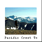
 |
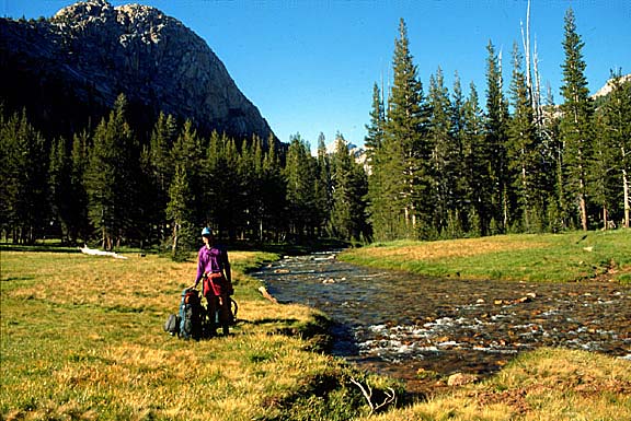
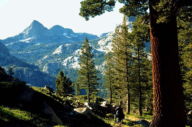
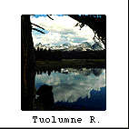
Tuolumne
River - here you can gaze onto the graceful
Tuolumne River as it meanders through meadowlark meadows and quietly
breathes beneath Cathedral Peak. Downstream from this point lies a precipitous
waterfall, Tuolumne Falls, past which you will eventually discover Glen
Aulin backcountry camp (6 miles from the Tuolumne Meadows Visitor Center
- our starting point before heading north).
|
 |
Matterhorn
Canyon - standing in this glaciated trough tucked
deeply below an adjacent hanging valley, I felt completely removed from
the crowds and in the heart of Yosemite. We are 3 days or 20 miles from
our start in Tuolumne Meadows. |
 |
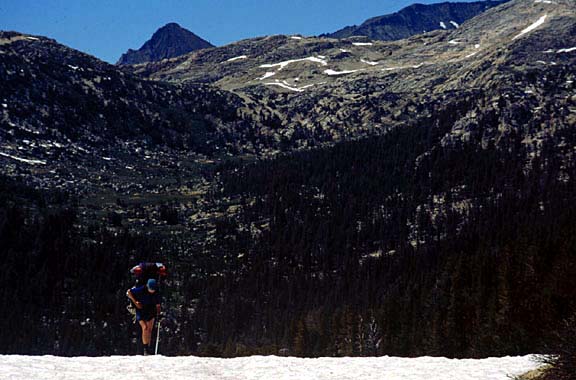
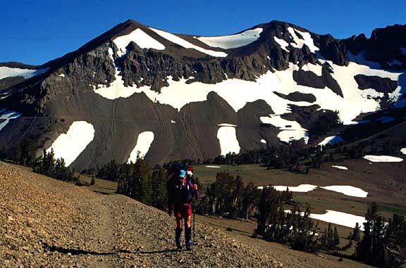
Benson
Pass - At 10,000 feet, you are likely to see
snow patches like these year round. This photograph was taken in mid-July.
Incidentally, the mosquitos were quite annoying even at this elevation.
(Imagine what it was like at lower elevations.) |
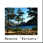 |
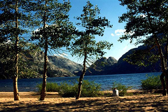
Benson
"Riviera" - named after the French Riviera known for its luxuriant
waterfronts and smoothly sanded beaches, this camp lives up to its name.
The beach sand was coarse, composed mostly of chunky granite. Quaking
aspen trees lined the beach naturally. We are 4 days or 31 miles from
the start. |
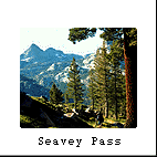 |
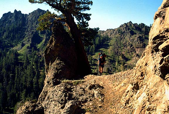
Seavey
Pass - the "grunt" it is called. So we woke up early to endure several
hours of hiking up and over six (6) "false gaps," as our guide book calls
them. In slightly over a couple of hours we made it over the final real
gap, only to spy another daunting ridge several miles in the distance.
By the days end, we had surmounted 3 major passes and 15 grueling miles
of up, over and down in this rugged part of Yosemite.
|
 |
Dorthy
Lake - By day 5, we had traveled nearly 57 miles to the outer boundary
of Yosemite National Park. We saw nobody this day as followed a straight,
steady trail up to the Dorthy Lake Divide. North of this point lies Toiyabe
National Forest and the Emigrant Wilderness to the west. The mosquitos
were the worst from Seavey Pass to this divide -- especially at river
crossings. At this camp, unfortunately, we spent most of our time in the
tent. |
 |
Kennedy
Canyon - climbing toward Leavitt Peak was the climax of our trip,
both figuratively and literally, as we rose to 11,000 feet. This was the
highest point in our trip. The old PCT is still visible behind me along
the north facing slope (a clear and present danger). Fortunately, the
new trail traversed a fairly sunny and safe route with awesome panoramic
views. By days end we will have reached Sonora Pass (Hwy 108) and traveled
76 miles by "day 7." |
 |
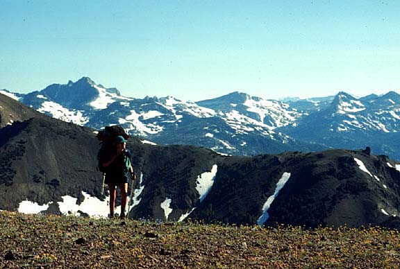
Leavitt
Ridge - look like the "Sound of Music" movie backdrop? Looking south
across the Sierra Nevada & Yosemite Park, one gets a glimpse of the vastness,
ruggedness and beauty John Muir marveled about during his Sierra travels.
This was the highest point in our month-long odyssey reaching nearly 11,
000 feet. |
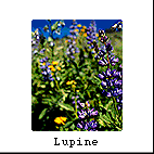 |
Lupine
- this profusion of wildflower actually improved as we entered the more
volcanic, drier soils from Ebbett's Pass (Hwy 4) to Lake Tahoe. One can
spend hours sniffing these flowers or taking their pictures. |
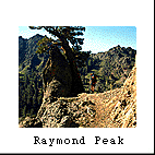 |
Raymond
Peak - shooting through this rocky gap just north of Ebbett's Pass,
the PCT enters a rainshadow climate, barren and groomed with sagebrush.
We are now 115 miles from Tuolumne Meadows and have another 110 miles
to go before our journey is complete at Donnor Pass (Hwy. 80).
|