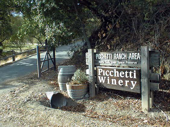
Working in collaboration with the Midpeninsula Regional Open Space District (known as MROSD), the Bay Area Shared Information Consortium (known as BASIC) created a robust and accurate GIS database for the District’s Pacchetti Ranch Area (located in Cupertino, CA
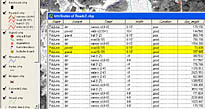
The BASIC and MROSD identified a pilot project area that would demonstrate the ability to capture accurate trail data along with a variety of landscape features and their attributes. Landscape features, such as roads, trails, stray trails, bridges, culverts, signs, and others were identified with the Trimble Global Positioning System (GPS) units to capture their location. Attributes were also recorded with the GPS unit, such as the width of trails & roads, surface of roads, types of bridges, material, etc. To do this, BASIC first created a "data dictionary" using Trimble's Pathfinder software. Next the data dictionary was uploaded into the GPS unit for data collection. Below is an example of a GIS table for the landscape feature named "Roads & Trails," the attributes (or fields in the table), and their values in each cell organized into specific groups or classes.
| Surface | Width | Tread* | Condition |
| paved | 6-10' | road (6-10') | good |
| dirt | 6-10' | wide trail (2-4') | poor |
| dirt | <4' | trail (1-2') | good |
| dirt | <4' | wide trail (2-4') | good |
| dirt | <4' | trail (1-2') | good |
| dirt | 4-6' | narrow rd (4-6') | good |
* tread specifies actual usable portion of trail
Values in the table above were gathered in the field and then downloaded directly back into the computer. Using Trimble's Pathfinder software, the data is differentially corrected to increase accuracy. It is then cleaned-up to reduce stray data points and converted into Shapefiles, in this example, for use in ESRI's ArcView GIS software.
 While
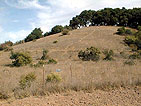
much of the Pacchetti Ranch lies on rolling hills and open fields, many parts
of the trail system lie beneath tree canopy and within ravines, both of which
can interfere with the GPS signal strength. Yet the GPS units performed well
under light to medium tree cover, such as oaks. Overcoming the ravine problem,
however, was a challenge. Often we were unable to move for some length of time.
To overcome this problem, we wanted to be in the field during the best times.
Using Pathfinder's mission planning option was the solution. One can
determine ahead of time the best satellite configuration -- which must be spread
out and high enough in the sky (above 45 degrees) to get an accurate position.
Given these limitations and preparation, we were able to collect a reasonable
amount of location points and maintain fair accuracy for the project. Accuracy
was 5 to 10 feet in open areas and 25 feet or more in ravine areas.
 This
accurate location information helped the MROSD rectify differences between existing
base maps and the new GPS maps. The collected attributes of landscape features
also helped the planning staff keep an inventory of park resources and ultimately
perform some GIS analysis. For example, they were able to measure distances
more accurately on the computer screen using GIS software. Using the example
of culverts, the planning staff was able to know exactly were all of the culverts
are located, what material they were made of, the diameter and pipe length,
and so on. Better yet, they were able to calculate the life of a culvert based
on the durability of the material (plastic last much longer than metal) and
anticipate future costs. The GPS units also identified problems in the field,
such as stray trails, landslides, erosion events, downed trees and the condition
of each landscape feature such as a road.
was able to compare GIS accuracy with aerial photographs, such as Digital Ortho Quarter Quandrangles (DOQQs), that were placed behind the vector-based GPS data (the collected points, lines and polygons) on the computer screen using the GIS software. In order to match up the MROSD's existing base map, which was projected in UTM, NAD 27, BASIC reprojected the DOQQ imagery to NAD 83 to perfectly match with the existing base map. The alignment of the images was also field checked with the GPS units to ensure accuracy. Finally, BASIC provided symbology for future uses and captured digital images of key locations and cultural features, such as trail juncture points and historic buildings on the Pacchetti
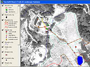
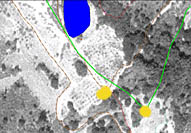
Below are examples of GIS layers created.
 |
 |
 |
Varied
Landscape Features |
Accuracy
- compared to old base map |
Robust
Database with numerous classes |