 Types of GIS Attributes
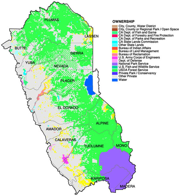
Categories
(nominal)
- differientiate things
and uses
- use text (abbrev.) or
numeric codes, which must be identical!
- data
dictionary describes attribute code
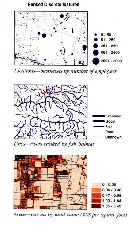
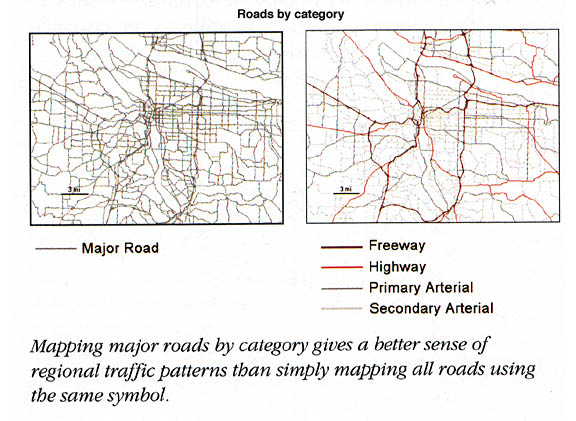
Ranks (ordinal)
- ranks assigned or able
to order in some progressive fashion
- based on assigned
classes in attribute table
- e.g. (streams,
class I, II, III, roads, etc.)
- alike in some way or
order
- e.g. road
classes - Freeways, hwys., major roads, minor roads, unpaved, trail
- often used with color
ramp to indicate rank, degree or intensity
- often used to simplify
measurements and reveal patterns
Counts and Amounts
(interval)
- show total numbers (actual
tally of map features)
- often shows frequency
as dots, not areas
Ratios:
-
relationship between two quantities, dividing one into the other
- evens out (or normalizes)
differences between differing areas
- more accurately shows
distribution of phenomenon
- e.g. (percentage
of available parking, etc.)
- assign functional classification
scheme
- (natural breaks,
quantile, equal interval and standard dev. -- discussed later)
Summary
Matrix of feature types and attribute types
Index