

Applications
of GeoSpatial Technology
Units :
1
Transfer : CSU/UC
Hours Per Week : 6
(for 3 weeks)
|
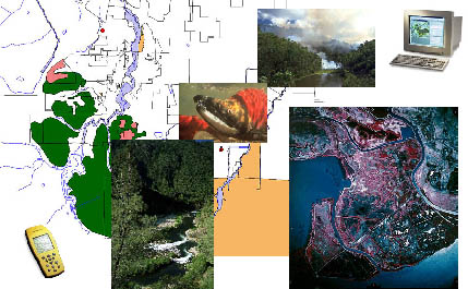
GIS case studies and related technology used in government and industry; emphasis on natural resource management, watershed analysis, remote sensing and aerial photo interpretation. Global Positioning Systems (GPS), and principles of cartography. Hands-on experience using introductory GIS and GPS technology. (GEOG 85) Course Student Learning Outcomes - Geography - GEOG 0085 CSLO 1 - Research GIS case studies for any industry of choice, with focus on application to solve real-world problems. CSLO 2 - Distinguish between base map features and thematic map features for a particular application, such as watershed mapping. CSLO 3 - Compare and contrast different remote sensing products and applications, discussing advantages and disadvantages. CSLO 4 - Identify key elements of Global Positioning Systems (GPS) including aspects of proper set-up, positional accuracy, corrections methods, and output to mapping software. |