

Units : 3 Transfer : CSU/UC
Hours Per Week :3
|
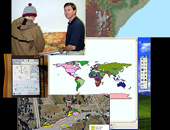
Geospatial analysis reveals patterns, relationships and trends that solve real-world challenges. With advanced GIS tools, studetns create surface contours, derive slopes, calculate flow direction, draw watersheds, determine line of sight and identify hotspots. ESRI Spatial Analyst and 3D Analyst extensions are used. (GEOG 94) Course Student Learning Outcomes - Geography - GEOG 0094 CSLO 1 - construct comprehensive framework or model to address stated problems. CSLO 2 - transform coordinate, projections and datums for display purposes. CSLO 3 - perform classifications, clusters, weighted overlays in conjunction with statistical analysis. CSLO 4 - create surfaces, using extensions such as 3D analyst. CSLO 5 - build a raster suitability model using ranking method with color intensification schemes.
|