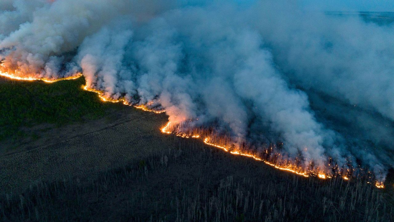
Fire staff can use GIS to map factors such as weather conditions, topography, fuel moisture, vegetation type, land management, and fire history. Layering that information with the location of high-value resources such as critical habitat, infrastructure, and housing developments reveals areas at greatest risk.
