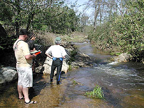
Overview of class

Global Positioning System (GPS) theory and techniques, GPS field collection, GIS integration and publishing web maps. Discussion of state-of-the-art hardware and industry-standard software used by GIS professionals to prepare, collect and process spatial data. Data collected during class culminates in a comprehensive GIS mapping project used for analysis. (CSU). Here you'll learn the theory and practice of GPS specifically related to GIS through lectures, numerous tutorials and worksheets.