

Units : 3 Transfer : CSU/UC
Hours Per Week :3
|
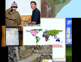
Interdisciplinary course to explore Geographic Information Systems (GIS) used for management, analysis, and communication of spatial data. Explores how GIS can be used as a tool within diverse academic disciplines. (GEOG 90) Course Student Learning Outcomes - Geography - GEOG 0090 CSLO 1 - Identify appropriate ways to map geographic features, whether using vector or raster. CSLO 2 - Compare and contrast different geographic coordinate systems, map projections and datums used in GIS. CSLO 3 - Evaluate effective map design based on cartographic principles and use of scale. CSLO 4 - Convert and incorporate GPS data, CAD data, other databases or tables into the GIS using software techniques. CSLO 5 - Develop metadata as part of data dictionary; explain attributes and value codes.
|