g


¯Home


C Geography Classes


Instructor Notes


Events / Pictures


Instructors


Intermediate GIS

Units : 3       Transfer : CSU/UC
Hours Per Week :3
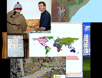


Advances theoretical and practical knowledge of collecting inputting and organizing spatial data. Includes working with Geodatabases, importing CAD and GPS data, digitizing geographic layers and other means of increasing GIS functionality. Focus on case studies (GEOG 92)

Course Student Learning Outcomes - Geography - GEOG 0092

CSLO 1 - Create and
modify a "geodatabase"; understand
components of table such as attribute and
values for future queries.

CSLO 2 - Conduct
comprehensive data search to select most
suitable data sources for project.

CSLO 3 - Convert and
integrate existing data into correct
projections, grad systems and datum
.

CSLO 4 - Convert and
incorporate GPS data, CAD data, other
databases or tables into the GIS using
software techniques.

CSLO 5 - Create maps
using quantities, series and charts.


- Back -