Portraying Earth
Fact or Fiction Quiz
Geography -
"Earth Writing"
from the Greeks
Maps
merely representations of reality
map essentials
Title, date, legend
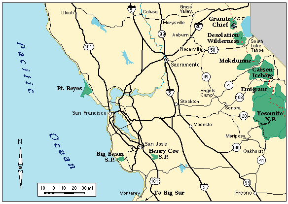
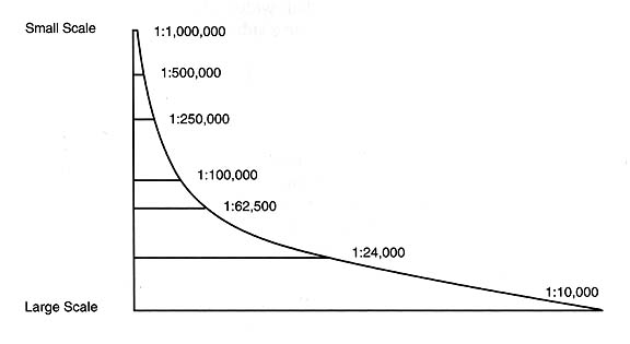
Scale
Direction (orientation)
Location
Projection
Map Projections
How do I flatten a spherical representation of the world?
avoid distorting (shape, area and direction)
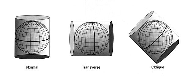
Cylindrical
projections
Example:
Mercator
areas are greatly out of proportion
Greenland greater than S. America
Straight line shows true compass directions
Planer projections
straight line to equal Great Circle (only projection)
great for navigation to plot shortest route
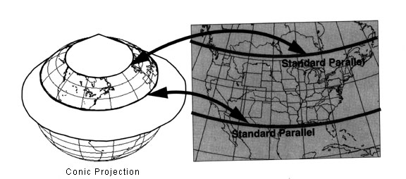
Conic projections
minimize distortion of shape and area
excellent for midlatitude maps
Isolines
joins points of equal value
contour lines
isotherms
isobars
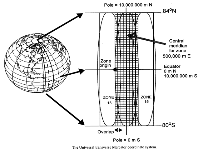
Other Grid Systems (separate than projections!)
Universal Transverse Mercator
(
UTM
) - metric, simple numbers
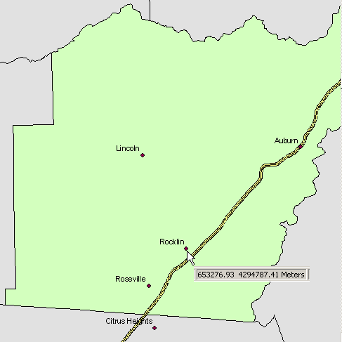
Rocklin
, CA
State Plane
- local zones, simple numbers (feet), used by gov’t
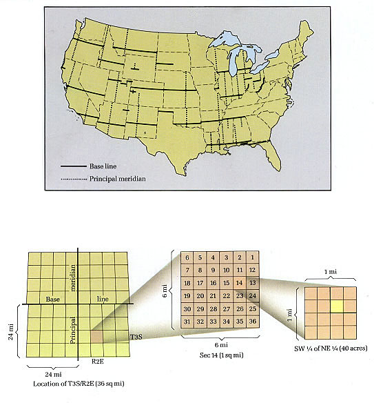
Public Land Survey (Township and Range system)
allocate public domain (began 18
th
Century)
superimposed
on landscapes
today
Township
- 36 sq. mi (comprising 36 sections)
Section -
1 section equals 1 sq. mi.
next